Kirriemuir/ Brechin / Edzell junction
Introduction
The photograph on this page of Kirriemuir/ Brechin / Edzell junction by Alan Morrison as part of the Geograph project.
The Geograph project started in 2005 with the aim of publishing, organising and preserving representative images for every square kilometre of Great Britain, Ireland and the Isle of Man.

There are currently over 7.5m images from over 14,400 individuals and you can help contribute to the project by visiting https://www.geograph.org.uk
Kirriemuir/ Brechin / Edzell junction
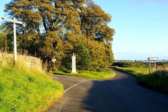
Image: © Alan Morrison Taken: 15 Oct 2008
War Memorial is visible. The area to the left is known as Tigerton.
Images are licensed for reuse under creativecommons.org/licenses/by-sa/2.0
Image Location
Latitude
56.768981
Longitude
-2.756464