Penllergaer Common 2
Introduction
The photograph on this page of Penllergaer Common 2 by Jonathan Billinger as part of the Geograph project.
The Geograph project started in 2005 with the aim of publishing, organising and preserving representative images for every square kilometre of Great Britain, Ireland and the Isle of Man.

There are currently over 7.5m images from over 14,400 individuals and you can help contribute to the project by visiting https://www.geograph.org.uk
Penllergaer Common 2
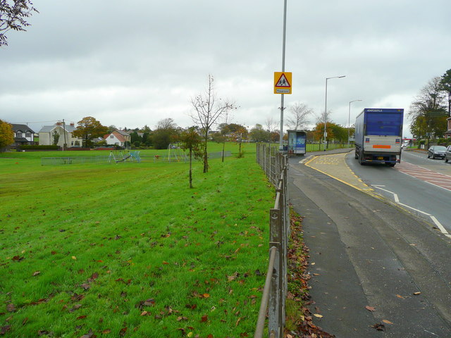
Image: © Jonathan Billinger Taken: 15 Oct 2008
Looking east from the western end showing the play area. The proximity to traffic on the A4240 must present a big worry for the village's inhabitants.
Images are licensed for reuse under creativecommons.org/licenses/by-sa/2.0
Image Location
Latitude
51.672267
Longitude
-4.005606