St. John's church, Pontyberem
Introduction
The photograph on this page of St. John's church, Pontyberem by Jonathan Billinger as part of the Geograph project.
The Geograph project started in 2005 with the aim of publishing, organising and preserving representative images for every square kilometre of Great Britain, Ireland and the Isle of Man.

There are currently over 7.5m images from over 14,400 individuals and you can help contribute to the project by visiting https://www.geograph.org.uk
St. John's church, Pontyberem
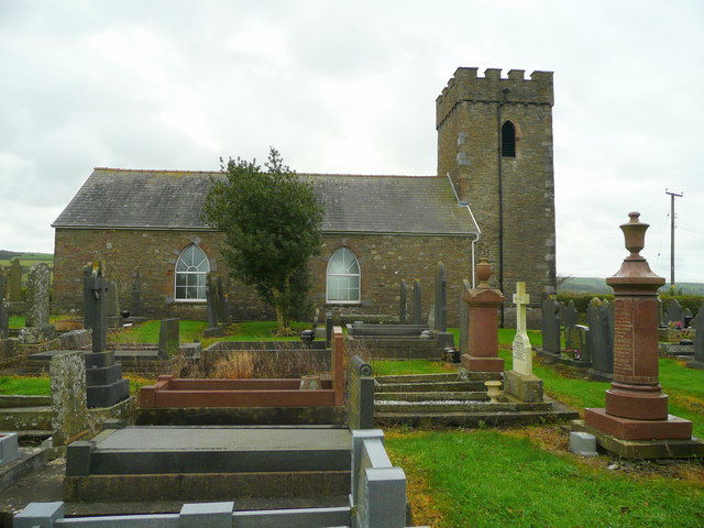
Image: © Jonathan Billinger Taken: 15 Oct 2008
This building is isolated from the mining village and is referred to locally as Capel Ifan to distinguish it from a newer building near the village centre.
Images are licensed for reuse under creativecommons.org/licenses/by-sa/2.0
Image Location


Leaflet Map data © OpenStreetMap
Latitude
51.771798
Longitude
-4.178156