Eaton, Leicestershire
Introduction
The photograph on this page of Eaton, Leicestershire by Kate Jewell as part of the Geograph project.
The Geograph project started in 2005 with the aim of publishing, organising and preserving representative images for every square kilometre of Great Britain, Ireland and the Isle of Man.

There are currently over 7.5m images from over 14,400 individuals and you can help contribute to the project by visiting https://www.geograph.org.uk
Eaton, Leicestershire
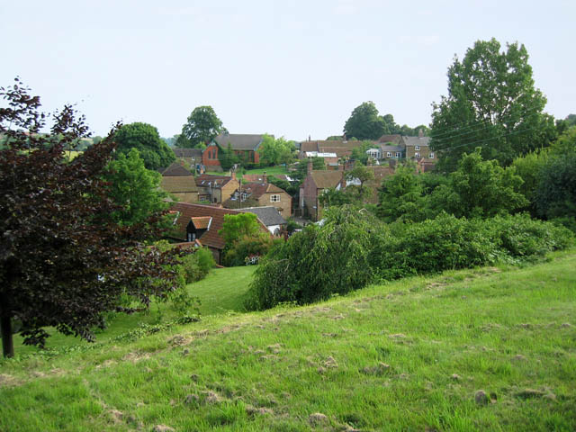
Image: © Kate Jewell Taken: 8 Jul 2005
The church in Eaton is on a commanding high point in the village, see Image This view is from the southern edge of the church yard looking across Main Street, (houses in the foreground), to the old Methodist Church, centre distance. Eaton is cut in half by the OS grid line and Chapel Street, (marked by the houses leading up to the Methodist Church), is in Image
Images are licensed for reuse under creativecommons.org/licenses/by-sa/2.0
Image Location
Latitude
52.852779
Longitude
-0.816991