The road to Lyndon Hill Visitor Centre
Introduction
The photograph on this page of The road to Lyndon Hill Visitor Centre by Mat Fascione as part of the Geograph project.
The Geograph project started in 2005 with the aim of publishing, organising and preserving representative images for every square kilometre of Great Britain, Ireland and the Isle of Man.

There are currently over 7.5m images from over 14,400 individuals and you can help contribute to the project by visiting https://www.geograph.org.uk
The road to Lyndon Hill Visitor Centre
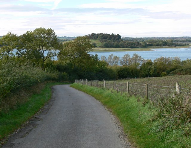
Image: © Mat Fascione Taken: 10 Oct 2008
Descending Lyndon Hill towards the south shore of Rutland Water. Lax Hill is visible in the distance.
Images are licensed for reuse under creativecommons.org/licenses/by-sa/2.0
Image Location


Leaflet Map data © OpenStreetMap
Latitude
52.639148
Longitude
-0.678229