Tylers Boarded Up
Introduction
The photograph on this page of Tylers Boarded Up by Gerald England as part of the Geograph project.
The Geograph project started in 2005 with the aim of publishing, organising and preserving representative images for every square kilometre of Great Britain, Ireland and the Isle of Man.

There are currently over 7.5m images from over 14,400 individuals and you can help contribute to the project by visiting https://www.geograph.org.uk
Tylers Boarded Up
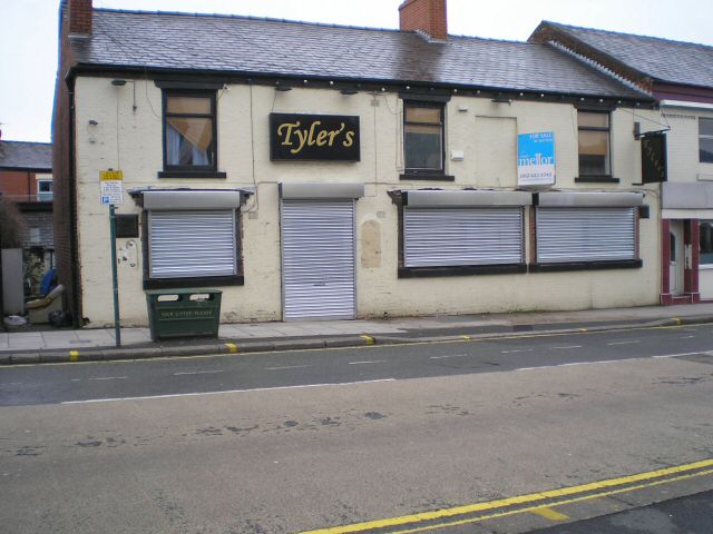
Image: © Gerald England Taken: 22 Jan 2008
Originally the Church Inn - Image - it changed its name to Tylers - Image - now it is closed and up for auction. It subsequently reopened as Route 66 Image
Images are licensed for reuse under creativecommons.org/licenses/by-sa/2.0
Image Location
Latitude
53.448768
Longitude
-2.077203