Hightown Lake
Introduction
The photograph on this page of Hightown Lake by Stuart Buchan as part of the Geograph project.
The Geograph project started in 2005 with the aim of publishing, organising and preserving representative images for every square kilometre of Great Britain, Ireland and the Isle of Man.

There are currently over 7.5m images from over 14,400 individuals and you can help contribute to the project by visiting https://www.geograph.org.uk
Hightown Lake
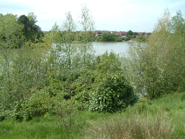
Image: © Stuart Buchan Taken: 15 May 2005
This lake was formed after gravel extraction had finished. The lake was used for water skiing, but now it is exclusively for fishing. Housing estates sprang up around the lake in the late eighties early nineties.
Images are licensed for reuse under creativecommons.org/licenses/by-sa/2.0
Image Location


Leaflet Map data © OpenStreetMap
Latitude
50.839792
Longitude
-1.765617