Hidden Church Tower
Introduction
The photograph on this page of Hidden Church Tower by roger geach as part of the Geograph project.
The Geograph project started in 2005 with the aim of publishing, organising and preserving representative images for every square kilometre of Great Britain, Ireland and the Isle of Man.

There are currently over 7.5m images from over 14,400 individuals and you can help contribute to the project by visiting https://www.geograph.org.uk
Hidden Church Tower
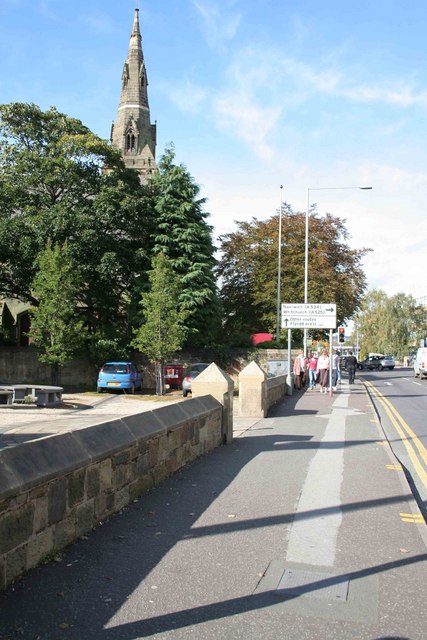
Image: © roger geach Taken: 9 Oct 2008
Looking towards St Marys Church on the walk back out of town.
Images are licensed for reuse under creativecommons.org/licenses/by-sa/2.0
Image Location
Latitude
53.047569
Longitude
-2.998204