Footpath from the Oare Gunpowder Works Country Park onto the Western Link Road
Introduction
The photograph on this page of Footpath from the Oare Gunpowder Works Country Park onto the Western Link Road by pam fray as part of the Geograph project.
The Geograph project started in 2005 with the aim of publishing, organising and preserving representative images for every square kilometre of Great Britain, Ireland and the Isle of Man.

There are currently over 7.5m images from over 14,400 individuals and you can help contribute to the project by visiting https://www.geograph.org.uk
Footpath from the Oare Gunpowder Works Country Park onto the Western Link Road
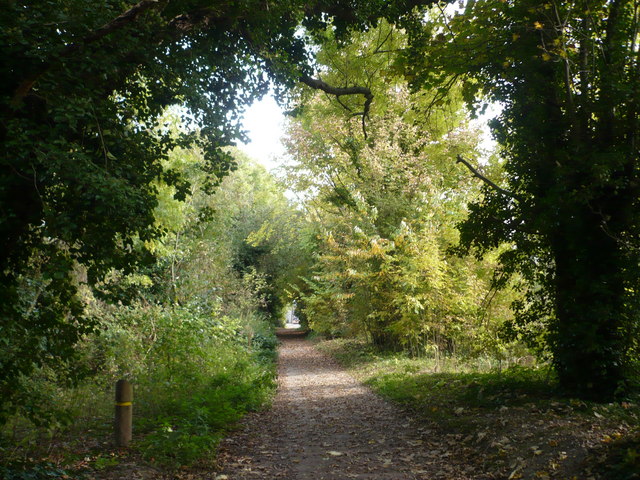
Image: © pam fray Taken: 14 Oct 2008
The gate to the Western Link Road can be seen at the end of the path.
Images are licensed for reuse under creativecommons.org/licenses/by-sa/2.0
Image Location
Latitude
51.326259
Longitude
0.875954