Lower Union Lane, Torquay
Introduction
The photograph on this page of Lower Union Lane, Torquay by Derek Harper as part of the Geograph project.
The Geograph project started in 2005 with the aim of publishing, organising and preserving representative images for every square kilometre of Great Britain, Ireland and the Isle of Man.

There are currently over 7.5m images from over 14,400 individuals and you can help contribute to the project by visiting https://www.geograph.org.uk
Lower Union Lane, Torquay
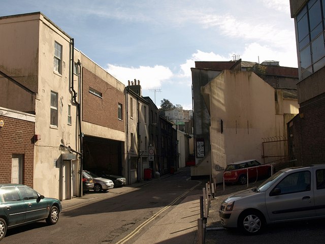
Image: © Derek Harper Taken: 10 Oct 2008
The buildings on the left front onto Union Street. The fragment of dark façade on the extreme right is Fleet House, the huge former telephone exchange. Further down the street is the scene in Image, across a gridline.
Images are licensed for reuse under creativecommons.org/licenses/by-sa/2.0
Image Location
Latitude
50.465863
Longitude
-3.528986