Flood relief channel
Introduction
The photograph on this page of Flood relief channel by Stephen Dawson as part of the Geograph project.
The Geograph project started in 2005 with the aim of publishing, organising and preserving representative images for every square kilometre of Great Britain, Ireland and the Isle of Man.

There are currently over 7.5m images from over 14,400 individuals and you can help contribute to the project by visiting https://www.geograph.org.uk
Flood relief channel
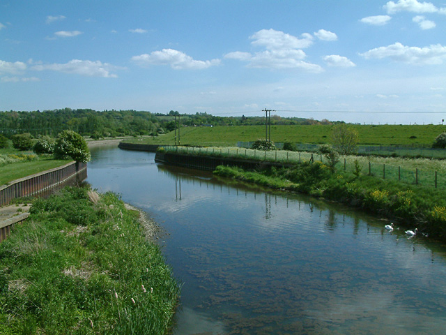
Image: © Stephen Dawson Taken: 15 May 2005
Known variously as the Cattlegate Flood Relief Channel and the Rammey Marsh Flood Relief Channel, the main flood channel for the River Lea meets the Lea (beyond the power lines). The embankment of the King George V Reservoir is prominent.
Images are licensed for reuse under creativecommons.org/licenses/by-sa/2.0
Image Location
Latitude
51.663066
Longitude
-0.013358