Dundry, from Long Ashton
Introduction
The photograph on this page of Dundry, from Long Ashton by MD as part of the Geograph project.
The Geograph project started in 2005 with the aim of publishing, organising and preserving representative images for every square kilometre of Great Britain, Ireland and the Isle of Man.

There are currently over 7.5m images from over 14,400 individuals and you can help contribute to the project by visiting https://www.geograph.org.uk
Dundry, from Long Ashton
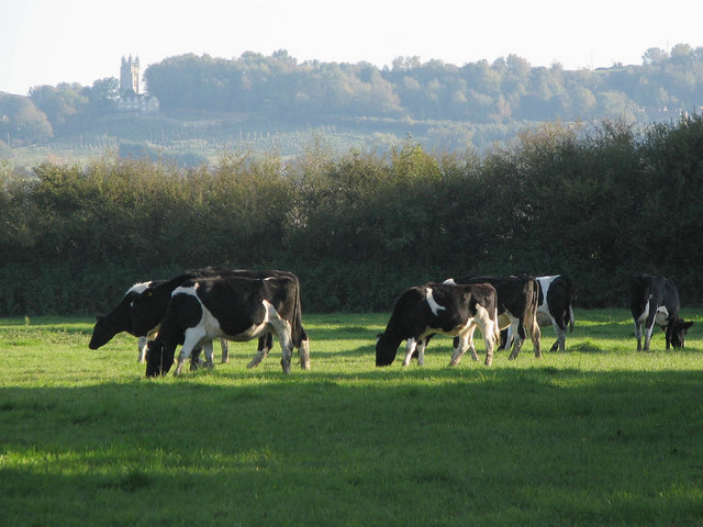
Image: © MD Taken: 12 Oct 2008
These cows may look innocent enough, but they were in the adjacent field moments before watching us walk pass. You can see Dundry church on the hill.
Images are licensed for reuse under creativecommons.org/licenses/by-sa/2.0
Image Location
Latitude
51.419519
Longitude
-2.657015