Grangecliff gardens (Cul de sac)
Introduction
The photograph on this page of Grangecliff gardens (Cul de sac) by Chris L L as part of the Geograph project.
The Geograph project started in 2005 with the aim of publishing, organising and preserving representative images for every square kilometre of Great Britain, Ireland and the Isle of Man.

There are currently over 7.5m images from over 14,400 individuals and you can help contribute to the project by visiting https://www.geograph.org.uk
Grangecliff gardens (Cul de sac)
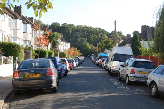
Image: © Chris L L Taken: 12 Oct 2008
photographed from junction with Grange Hill / Grange Road
Images are licensed for reuse under creativecommons.org/licenses/by-sa/2.0
Image Location
Latitude
51.406674
Longitude
-0.088332