Ellesmere Basin
Introduction
The photograph on this page of Ellesmere Basin by Stephen McKay as part of the Geograph project.
The Geograph project started in 2005 with the aim of publishing, organising and preserving representative images for every square kilometre of Great Britain, Ireland and the Isle of Man.

There are currently over 7.5m images from over 14,400 individuals and you can help contribute to the project by visiting https://www.geograph.org.uk
Ellesmere Basin
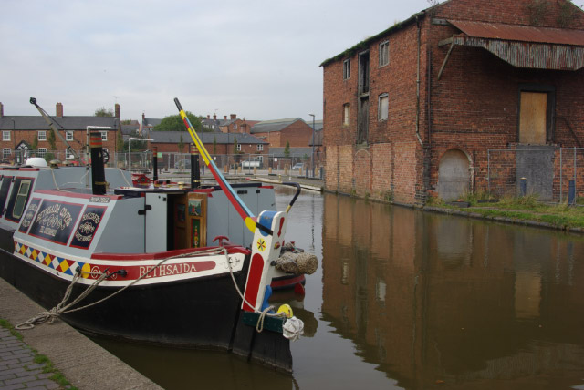
Image: © Stephen McKay Taken: 6 Oct 2008
The end of the short Ellesmere arm, work is taking place here to exploit the potential of this rather run-down spot.
Images are licensed for reuse under creativecommons.org/licenses/by-sa/2.0
Image Location
Latitude
52.904558
Longitude
-2.894999