Church Street
Introduction
The photograph on this page of Church Street by Simon Carey as part of the Geograph project.
The Geograph project started in 2005 with the aim of publishing, organising and preserving representative images for every square kilometre of Great Britain, Ireland and the Isle of Man.

There are currently over 7.5m images from over 14,400 individuals and you can help contribute to the project by visiting https://www.geograph.org.uk
Church Street
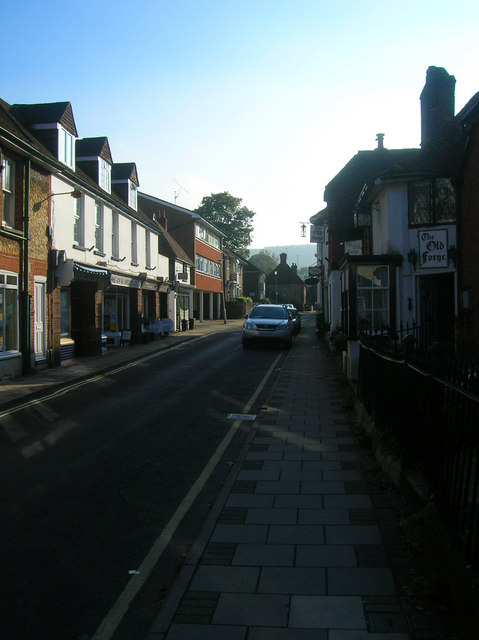
Image: © Simon Carey Taken: 11 Oct 2008
Leading south from The Square towards the Downs. The Old Forge on the right is a restaurant with separate deli built into a number of old cottages some of which date back to the 16th century and the village's former forge.
Images are licensed for reuse under creativecommons.org/licenses/by-sa/2.0
Image Location
Latitude
50.916949
Longitude
-0.455318