Montgomery Canal, Maesbury
Introduction
The photograph on this page of Montgomery Canal, Maesbury by Stephen McKay as part of the Geograph project.
The Geograph project started in 2005 with the aim of publishing, organising and preserving representative images for every square kilometre of Great Britain, Ireland and the Isle of Man.

There are currently over 7.5m images from over 14,400 individuals and you can help contribute to the project by visiting https://www.geograph.org.uk
Montgomery Canal, Maesbury
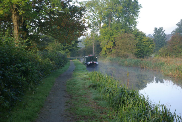
Image: © Stephen McKay Taken: 6 Oct 2008
The Montgomery Canal, where the number of boats is restricted, is a peaceful waterway; it is seen here close to the current limit of navigation.
Images are licensed for reuse under creativecommons.org/licenses/by-sa/2.0
Image Location
Latitude
52.817347
Longitude
-3.029422