Rowdell
Introduction
The photograph on this page of Rowdell by Simon Carey as part of the Geograph project.
The Geograph project started in 2005 with the aim of publishing, organising and preserving representative images for every square kilometre of Great Britain, Ireland and the Isle of Man.

There are currently over 7.5m images from over 14,400 individuals and you can help contribute to the project by visiting https://www.geograph.org.uk
Rowdell
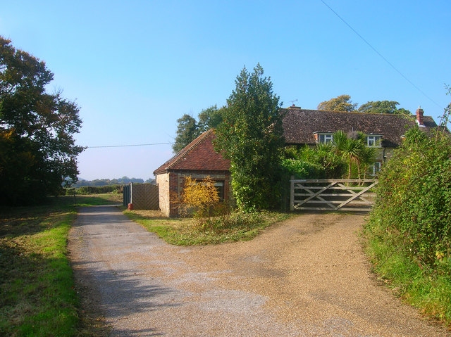
Image: © Simon Carey Taken: 11 Oct 2008
Once the site of an old manor within Washington parish. The lane is part of the South Downs Way route that avoids crossing the main A24 road.
Images are licensed for reuse under creativecommons.org/licenses/by-sa/2.0
Image Location
Latitude
50.904835
Longitude
-0.417033