Langport: East Gate
Introduction
The photograph on this page of Langport: East Gate by Martin Bodman as part of the Geograph project.
The Geograph project started in 2005 with the aim of publishing, organising and preserving representative images for every square kilometre of Great Britain, Ireland and the Isle of Man.

There are currently over 7.5m images from over 14,400 individuals and you can help contribute to the project by visiting https://www.geograph.org.uk
Langport: East Gate
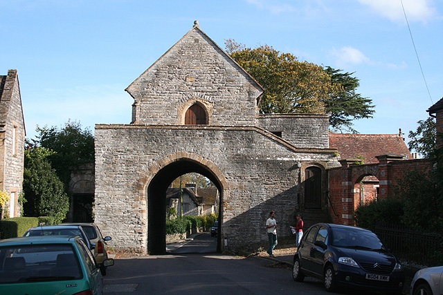
Image: © Martin Bodman Taken: 10 Oct 2008
The town was founded on Langport Hill, the pocket parish probably carved out of the bishop’s larger holding, Huish Episcopi. Langport was originally walled and the East Gate with its Hanging Chapel provide a glimpse of the medieval defences
Images are licensed for reuse under creativecommons.org/licenses/by-sa/2.0
Image Location
Latitude
51.037112
Longitude
-2.823737