Langport: above the levels
Introduction
The photograph on this page of Langport: above the levels by Martin Bodman as part of the Geograph project.
The Geograph project started in 2005 with the aim of publishing, organising and preserving representative images for every square kilometre of Great Britain, Ireland and the Isle of Man.

There are currently over 7.5m images from over 14,400 individuals and you can help contribute to the project by visiting https://www.geograph.org.uk
Langport: above the levels
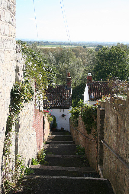
Image: © Martin Bodman Taken: 10 Oct 2008
Looking south over Huish Level. The early town was built on a hill - a promontory - 20m above the surrounding Somerset Levels. An alley off Whatley Lane
Images are licensed for reuse under creativecommons.org/licenses/by-sa/2.0
Image Location
Latitude
51.036825
Longitude
-2.826156