Route of former Hereford and Gloucester Canal
Introduction
The photograph on this page of Route of former Hereford and Gloucester Canal by Pauline E as part of the Geograph project.
The Geograph project started in 2005 with the aim of publishing, organising and preserving representative images for every square kilometre of Great Britain, Ireland and the Isle of Man.

There are currently over 7.5m images from over 14,400 individuals and you can help contribute to the project by visiting https://www.geograph.org.uk
Route of former Hereford and Gloucester Canal
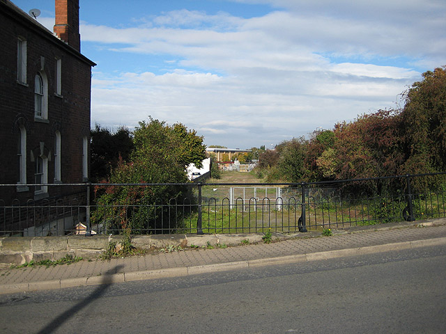
Image: © Pauline E Taken: 11 Oct 2008
Taken from Widemarsh Bridge towards Aylestone. The canal closed in 1883 and the eastern section of the route between Ledbury and Gloucester was turned into a railway. The arch below the bridge is bricked up.
Images are licensed for reuse under creativecommons.org/licenses/by-sa/2.0
Image Location
Latitude
52.063676
Longitude
-2.71442