Disused Track
Introduction
The photograph on this page of Disused Track by Dorothy Carse as part of the Geograph project.
The Geograph project started in 2005 with the aim of publishing, organising and preserving representative images for every square kilometre of Great Britain, Ireland and the Isle of Man.

There are currently over 7.5m images from over 14,400 individuals and you can help contribute to the project by visiting https://www.geograph.org.uk
Disused Track
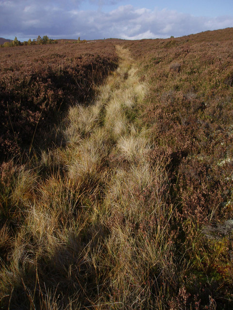
Image: © Dorothy Carse Taken: 11 Oct 2008
Shown on the 1:25,000 map, this old track has become overgrown and is now more like a boggy ditch.
Images are licensed for reuse under creativecommons.org/licenses/by-sa/2.0
Image Location
Latitude
57.324503
Longitude
-3.690888