East Wemyss, West end
Introduction
The photograph on this page of East Wemyss, West end by Jim Bain as part of the Geograph project.
The Geograph project started in 2005 with the aim of publishing, organising and preserving representative images for every square kilometre of Great Britain, Ireland and the Isle of Man.

There are currently over 7.5m images from over 14,400 individuals and you can help contribute to the project by visiting https://www.geograph.org.uk
East Wemyss, West end
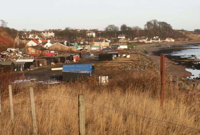
Image: © Jim Bain Taken: 3 Jan 2006
Taken from the site of the Michael Colliery, I think, but open to correction, looking NE along the shoreline.
Images are licensed for reuse under creativecommons.org/licenses/by-sa/2.0
Image Location
Latitude
56.157475
Longitude
-3.065751