B1456 and house dominated by the western end of the Orwell Bridge
Introduction
The photograph on this page of B1456 and house dominated by the western end of the Orwell Bridge by Andrew Hill as part of the Geograph project.
The Geograph project started in 2005 with the aim of publishing, organising and preserving representative images for every square kilometre of Great Britain, Ireland and the Isle of Man.

There are currently over 7.5m images from over 14,400 individuals and you can help contribute to the project by visiting https://www.geograph.org.uk
B1456 and house dominated by the western end of the Orwell Bridge
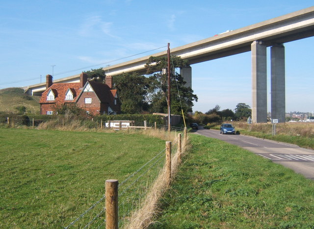
Image: © Andrew Hill Taken: 11 Oct 2008
The bridge carries 57,000 vehicles daily (2007 figures). It carries combined traffic for the A14 and A12 and acts as a bypass for Ipswich. The congestion in Ipswich would be unthinkable should the bridge be closed. It is vital for access to Felixstowe town and port from almost all directions.
Images are licensed for reuse under creativecommons.org/licenses/by-sa/2.0
Image Location
Latitude
52.026279
Longitude
1.158903