Crownhead Farm
Introduction
The photograph on this page of Crownhead Farm by Andrew Wood as part of the Geograph project.
The Geograph project started in 2005 with the aim of publishing, organising and preserving representative images for every square kilometre of Great Britain, Ireland and the Isle of Man.

There are currently over 7.5m images from over 14,400 individuals and you can help contribute to the project by visiting https://www.geograph.org.uk
Crownhead Farm
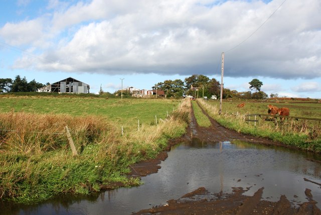
Image: © Andrew Wood Taken: 11 Oct 2008
Muddy and potholed the first impression of Crownhead seems to give only a taste of what is to follow.
Images are licensed for reuse under creativecommons.org/licenses/by-sa/2.0
Image Location
Latitude
57.285608
Longitude
-2.281321