Southgate Circus, London N14
Introduction
The photograph on this page of Southgate Circus, London N14 by Christine Matthews as part of the Geograph project.
The Geograph project started in 2005 with the aim of publishing, organising and preserving representative images for every square kilometre of Great Britain, Ireland and the Isle of Man.

There are currently over 7.5m images from over 14,400 individuals and you can help contribute to the project by visiting https://www.geograph.org.uk
Southgate Circus, London N14
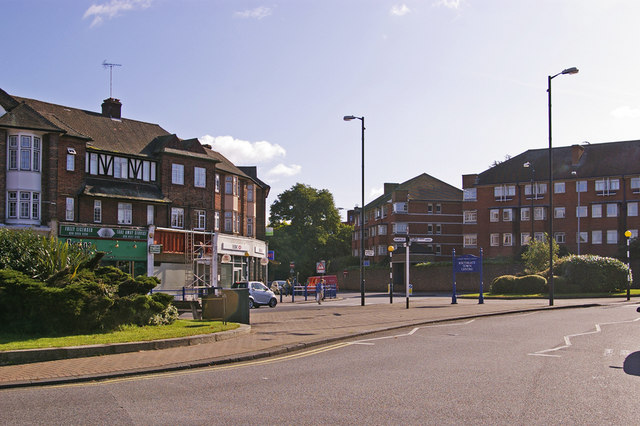
Image: © Christine Matthews Taken: 8 Oct 2008
Looking across Southgate Circus towards The Bourne. The block of flats on the right was built on the site of what used to be called The Grange, and which in the late 1960s/early 1970s was used as a carpark. There had been talk about building an arts centre or theatre on the site but it never happened.
Images are licensed for reuse under creativecommons.org/licenses/by-sa/2.0
Image Location
Latitude
51.631929
Longitude
-0.126849