St. Matthew's Church Ballam
Introduction
The photograph on this page of St. Matthew's Church Ballam by Roger W Haworth as part of the Geograph project.
The Geograph project started in 2005 with the aim of publishing, organising and preserving representative images for every square kilometre of Great Britain, Ireland and the Isle of Man.

There are currently over 7.5m images from over 14,400 individuals and you can help contribute to the project by visiting https://www.geograph.org.uk
St. Matthew's Church Ballam
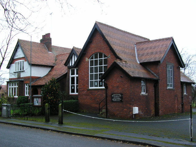
Image: © Roger W Haworth Taken: 22 Dec 2005
formerly the village school. This is Moss Lane, Higher Ballam - the "higher" is more a measure of importance than altitude - if Lower Ballam is lower, it is only by a few metres.
Images are licensed for reuse under creativecommons.org/licenses/by-sa/2.0
Image Location
Latitude
53.764188
Longitude
-2.973864