Ford on the Berach
Introduction
The photograph on this page of Ford on the Berach by Nigel Davies as part of the Geograph project.
The Geograph project started in 2005 with the aim of publishing, organising and preserving representative images for every square kilometre of Great Britain, Ireland and the Isle of Man.

There are currently over 7.5m images from over 14,400 individuals and you can help contribute to the project by visiting https://www.geograph.org.uk
Ford on the Berach
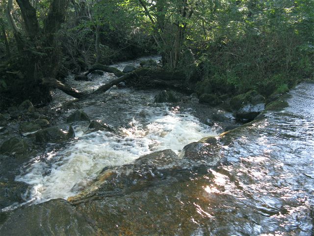
Image: © Nigel Davies Taken: 5 Oct 2008
Looking downstream, standing in the ford. The lane up to Pentwyncoch Isaf branches over the river here to get to Cwmffrwd Villa
Images are licensed for reuse under creativecommons.org/licenses/by-sa/2.0
Image Location


Leaflet Map data © OpenStreetMap
Latitude
51.812176
Longitude
-3.925639