Flooding in Vyrnwy valley
Introduction
The photograph on this page of Flooding in Vyrnwy valley by Patrick as part of the Geograph project.
The Geograph project started in 2005 with the aim of publishing, organising and preserving representative images for every square kilometre of Great Britain, Ireland and the Isle of Man.

There are currently over 7.5m images from over 14,400 individuals and you can help contribute to the project by visiting https://www.geograph.org.uk
Flooding in Vyrnwy valley
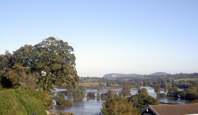
Image: © Patrick Taken: 5 Oct 2008
On a day when severe rain had caused flooding in the Vyrnwy valley, the sun came out to illuminate a transformed landscape. See the series taken further down the road near Meifod Image
Images are licensed for reuse under creativecommons.org/licenses/by-sa/2.0
Image Location
Latitude
52.730184
Longitude
-3.215294