POSTCODE INDEX
Walsall (WS) Area Postcodes
Walsall (WS) Area Overview
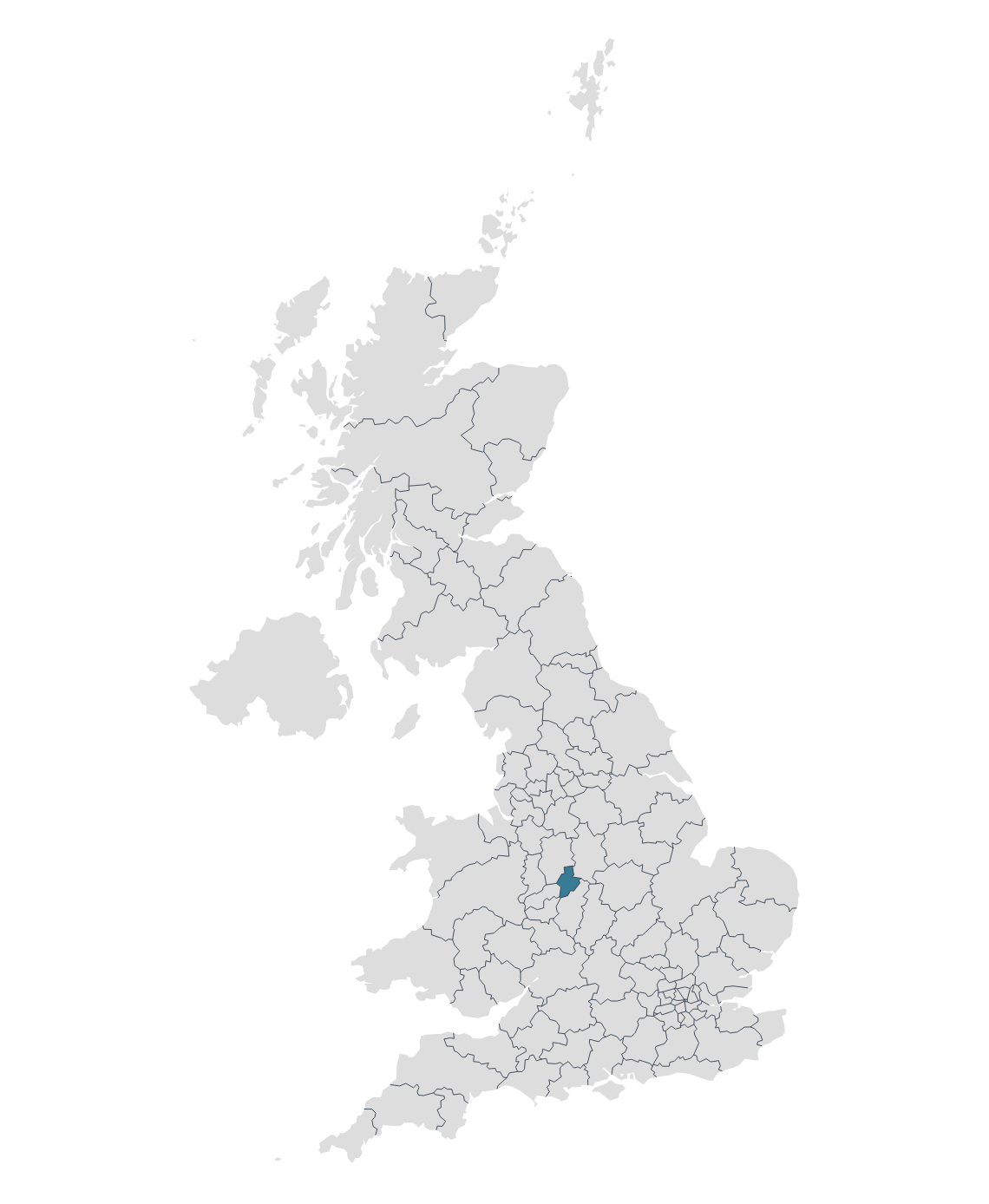
The WS postcode area, also known as the Walsall postcode area, covers a region in the West Midlands, England.
Walsall is a town located in the West Midlands region of England. It is the administrative centre of the Metropolitan Borough of Walsall, which is part of the wider West Midlands metropolitan county. Walsall has a history dating back to Roman times when it was a settlement known for its ironworking. The town later became known for its leather industry, particularly saddle-making and the production of leather goods.
Cannock is a town located in Staffordshire and is located near Cannock Chase, an Area of Outstanding Natural Beauty (AONB) known for its woodlands, heathlands, and diverse wildlife. Cannock Chase offers opportunities for outdoor activities such as hiking, cycling, and birdwatching.
Wednesbury is a market town located in the West Midlands region of England and has a rich history, with evidence of settlement dating back to the medieval period. The town played a role in the Industrial Revolution and was known for industries such as coal mining and iron production.
Other postal towns and areas covered by the WS postcode area are Burntwood, Lichfield and Rugeley.
Map

