POSTCODE INDEX
Stornoway (HS) Area Postcodes
Stornoway (HS) Area Overview
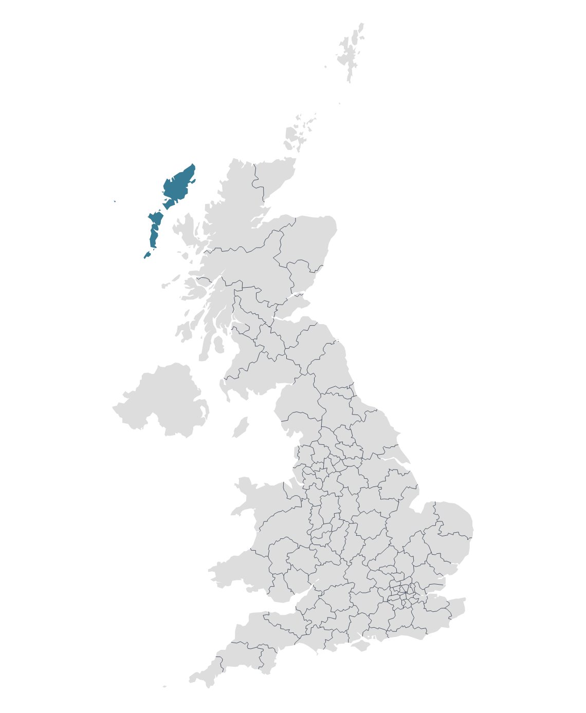
The HS postcode area, commonly known as the Outer Hebrides or Western Isles postcode area, covers the Outer Hebrides in Scotland. The Outer Hebrides is a chain of islands located off the northwest coast of mainland Scotland.
Stornaway is the largest town and administrative centre of the Outer Hebrides, specifically on the Isle of Lewis, in Scotland and has a rich history with archaeological sites nearby, such as the famous Callanish Standing Stones, suggesting human settlement in the area for thousands of years. The town itself developed around its harbour, which has been key to its growth and economic development.
Isle of Harris is connected to Lewis and forming one landmass, Harris is known for its stunning beaches and mountainous terrain. It's also famous for Harris Tweed, a cloth that's been handwoven by islanders for centuries.
Isle of North Uist is a largely flat island and is known for its freshwater lochs and its connections to ancient Scottish history.
Other postal towns and areas covered by the HS postcode area are Isle of Barra, Isle of Benbecula, Isle of Lewis, Isle of Scalpay and Isle of South Uist.
Map

