POSTCODE INDEX
Romford (RM) Area Postcodes
Romford (RM) Area Overview
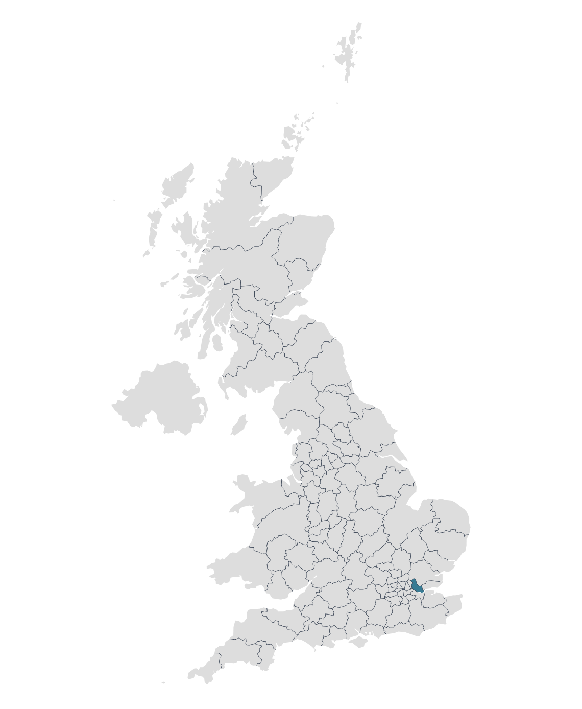
The RM (Romford) postcode area, also known as the Romford postcode area, is a collection of postcode districts around the eastern suburbs and parts of northeast London.
Romford is a large town in East London and serves as the administrative centre of the London Borough of Havering. Traditionally in Essex, it was later absorbed into Greater London in 1965. Over the years, Romford has transformed from a market town to a major suburban centre with a diverse mix of residential, commercial, and leisure amenities.
Dagenham was historically an agrarian village and its transformation began in the early 20th century, especially with the establishment of the massive Ford Motor Company plant in 1931. The Ford Dagenham plant became one of the largest automotive factories in the world, deeply influencing the town's demographics, economy, and culture.
Tilbury is a town located in the borough of Thurrock, in Essex, England. It is situated on the northern bank of the River Thames and has historically been a key location due to its port. It has played a pivotal role in the UK's maritime history and remains one of Britain's major ports for container and bulk cargo.
Other postal towns and areas covered by the RM postcode area are Grays, Hornchurch, Purfleet, Rainham, South Ockendon and Upminster.
Map

