POSTCODE INDEX
Oldham (OL) Area Postcodes
Oldham (OL) Area Overview
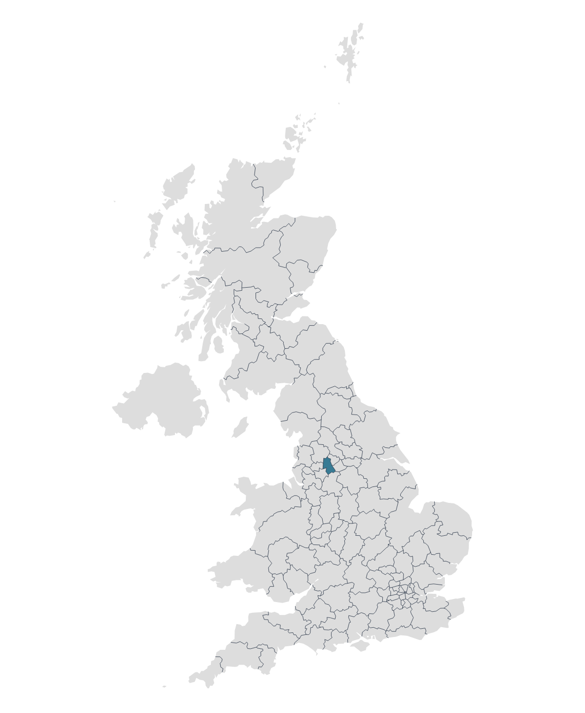
The OL postcode area, commonly referred to as the Oldham postcode area, covers parts of Greater Manchester and some smaller parts of Lancashire in the North West of England.
Oldham is a town in Greater Manchester, England, situated amid the Pennines between the rivers Irk and Medlock. It's historically part of Lancashire and played a significant role during the Industrial Revolution as an international centre for textile manufacture and cotton spinning.
Heywood is a town in the Metropolitan Borough of Rochdale, situated in Greater Manchester, England and lies to the north of the city of Manchester. Heywood saw significant growth during the Industrial Revolution, becoming a major mill town known for cotton production.
Rochdale is situated at the foothills of the South Pennines on the River Roch. Rochdale was one of the world's first industrialized towns. In the 19th century, it became a major centre for the textile industry, especially cotton spinning. The town is famous for the Rochdale Pioneers, who, in 1844, established the principles on which the co-operative movement is based.
Other postal towns and areas covered by the OL postcode area are Ashton-under-Lyne, Littleborough and Todmorden.
Map

