POSTCODE INDEX
Northampton (NN) Area Postcodes
Northampton (NN) Area Overview
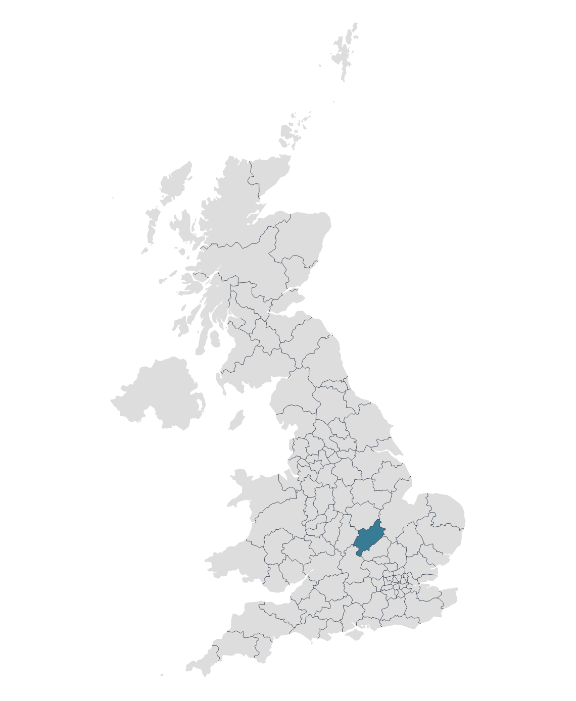
The NN postcode area, also known as the Northampton postcode area, covers parts of Northamptonshire, England, as well as small parts of Buckinghamshire, Oxfordshire, and Warwickshire.
Northampton is the county town of Northamptonshire and is situated about 67 miles north-west of London and around 50 miles south-east of Birmingham. Historically, Northampton was a major centre of shoemaking and other leather-related industries, a heritage that still leaves a mark on the town today, though the actual industry has mostly moved out of the area.
Brackley is a historic market town in South Northamptonshire, England. The town is known in recent times for its proximity to the Silverstone Circuit, an iconic motorsport venue that hosts the British Grand Prix. Several Formula One teams, including Mercedes-AMG Petronas, have facilities nearby.
Towcester is a market town in Northamptonshire, England. It is one of the oldest continuously inhabited settlements in the country, with a history that stretches back over two millennia. Towcester's origins date back to Roman Britain. The Romans founded it as a market town called "Lactodorum" around AD 70. The town was strategically situated at the junction of Watling Street, a significant Roman road.
Other postal towns and areas covered by the NN postcode area are Corby, Daventry, Kettering, Rushden and Wellingborough.
Map

