POSTCODE INDEX
Halifax (HX) Area Postcodes
Halifax (HX) Area Overview
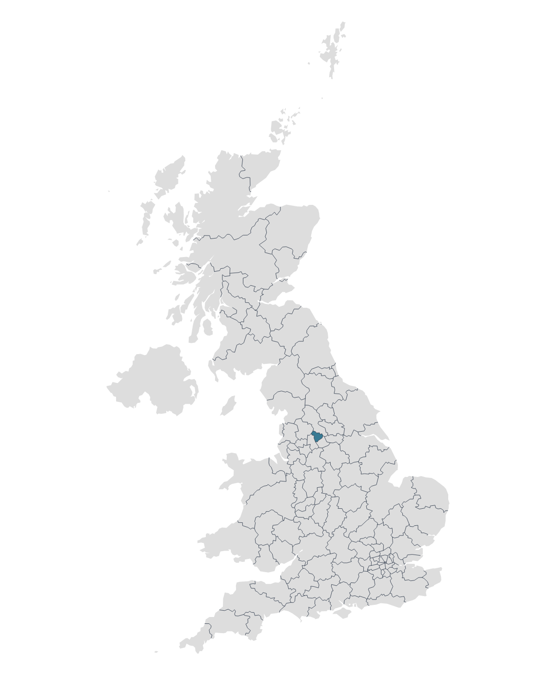
The HX postcode area, commonly referred to as the Halifax postcode area, covers parts of West Yorkshire in England. Halifax is the main urban centre within this postcode area
Halifax is a historic minster town located in the Metropolitan Borough of Calderdale in West Yorkshire, England. It has long been an important centre for wool production and the cloth trade, and although the wool industry has significantly diminished, the town's heritage in this field is still evident.
Elland is a market town situated within the Metropolitan Borough of Calderdale in West Yorkshire, England. Located south of Halifax and near the River Calder, Elland has a history that dates back over a thousand years, with evidence suggesting its existence even in Roman times.
Hebden Bridge s a picturesque market town located in the Upper Calder Valley in West Yorkshire, England. Nestled within the Pennines, it's known for its steep streets, stunning landscapes, rich history, and a vibrant artistic community. The town has transformed over the years from an industrial hub to a popular destination for tourists, artists, and those seeking an alternative lifestyle.
Sowerby Bridge is a market town located in the Calder Valley in the Metropolitan Borough of Calderdale, West Yorkshire, England. During the Industrial Revolution, Sowerby Bridge flourished, particularly due to its textile mills and its strategic location on both the River Calder and the Rochdale Canal, which facilitated trade and transportation.
Map

