Coventry Canal at Fradley Bridge, Staffordshire
Introduction
The photograph on this page of Coventry Canal at Fradley Bridge, Staffordshire by Roger D Kidd as part of the Geograph project.
The Geograph project started in 2005 with the aim of publishing, organising and preserving representative images for every square kilometre of Great Britain, Ireland and the Isle of Man.

There are currently over 7.5m images from over 14,400 individuals and you can help contribute to the project by visiting https://www.geograph.org.uk
Coventry Canal at Fradley Bridge, Staffordshire
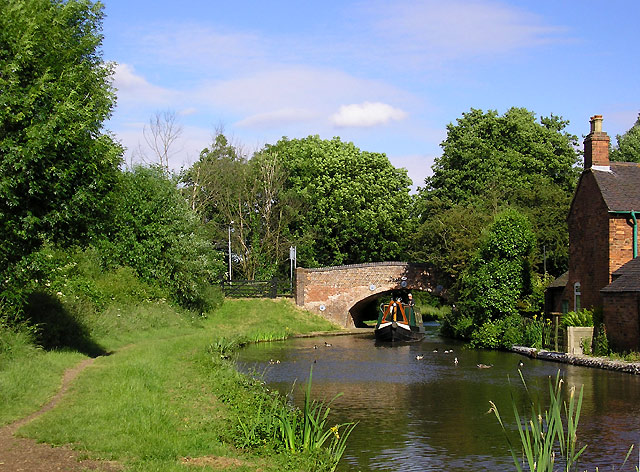
Image: © Roger D Kidd Taken: 11 Jun 2008
The Coventry Canal was started in 1768, and reached Atherstone by 1771, but lack of money meant that although it was planned to end at Fradley Junction, it had still only reached Fazeley by 1790. In the meantime, the Birmingham and Fazeley Canal had been built and used the Coventry Canal's original planned line to Whittington Brook. The Grand Trunk Canal Company then continued northwards to Fradley Junction. This final section was bought back by the Coventry Company later and they placed numbers on their bridges. It explains how a long section of the canal including that pictured here is detached from the rest of the Coventry canal. The five and a half miles of canal running through Hopwas remains as part of the Birmingham and Fazeley Canal, which has un-numbered bridges. Coventry Canal Bridge No 77 at Fazeley Junction is five and a half miles from bridge No 78 at Whittington Brook. Fradley bridge is No 90.
Images are licensed for reuse under creativecommons.org/licenses/by-sa/2.0
Image Location
Latitude
52.716062
Longitude
-1.774205