Wivenhoe Sailing Club
Introduction
The photograph on this page of Wivenhoe Sailing Club by Bob Jones as part of the Geograph project.
The Geograph project started in 2005 with the aim of publishing, organising and preserving representative images for every square kilometre of Great Britain, Ireland and the Isle of Man.

There are currently over 7.5m images from over 14,400 individuals and you can help contribute to the project by visiting https://www.geograph.org.uk
Wivenhoe Sailing Club
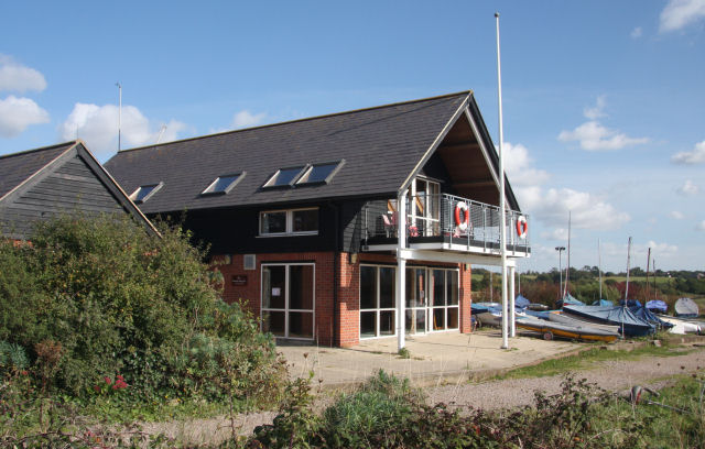
Image: © Bob Jones Taken: 8 Oct 2008
The clubhouse of the sailing club http://www.wivenhoesailing.org.uk/ is situated on the eastern bank of the River Colne, downstream of the tidal barrier.
Images are licensed for reuse under creativecommons.org/licenses/by-sa/2.0
Image Location
Latitude
51.852894
Longitude
0.964758