Farmland at Elvastone
Introduction
The photograph on this page of Farmland at Elvastone by Graham Horn as part of the Geograph project.
The Geograph project started in 2005 with the aim of publishing, organising and preserving representative images for every square kilometre of Great Britain, Ireland and the Isle of Man.

There are currently over 7.5m images from over 14,400 individuals and you can help contribute to the project by visiting https://www.geograph.org.uk
Farmland at Elvastone
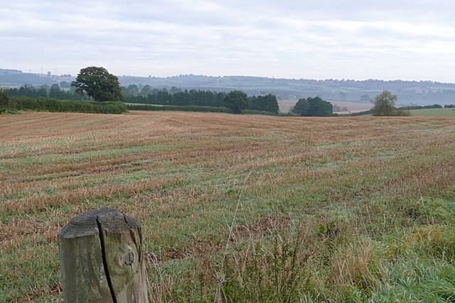
Image: © Graham Horn Taken: 6 Oct 2008
Taken from the gateway on the drive to the farm, which is just in the square, looking north-east. The western part of the square is mainly arable fields.
Images are licensed for reuse under creativecommons.org/licenses/by-sa/2.0
Image Location
Latitude
51.951207
Longitude
-2.698371