Salisbury Road School Plymouth
Introduction
The photograph on this page of Salisbury Road School Plymouth by Mick Lobb as part of the Geograph project.
The Geograph project started in 2005 with the aim of publishing, organising and preserving representative images for every square kilometre of Great Britain, Ireland and the Isle of Man.

There are currently over 7.5m images from over 14,400 individuals and you can help contribute to the project by visiting https://www.geograph.org.uk
Salisbury Road School Plymouth
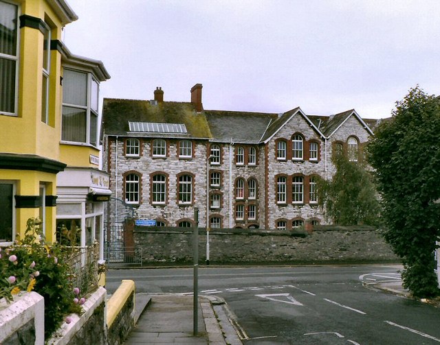
Image: © Mick Lobb Taken: 4 Oct 2008
Salisbury Road School was built in 1903 and once housed nursery, infant, junior and senior schools. During the First World War it was pressed into service as a military hospital.
Images are licensed for reuse under creativecommons.org/licenses/by-sa/2.0
Image Location
Latitude
50.374941
Longitude
-4.124063