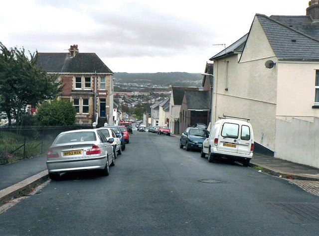
Farringdon Road Plymouth
Introduction
The photograph on this page of Farringdon Road Plymouth by Mick Lobb as part of the Geograph project.
The Geograph project started in 2005 with the aim of publishing, organising and preserving representative images for every square kilometre of Great Britain, Ireland and the Isle of Man.
There are currently over 7.5m images from over 14,400 individuals and you can help contribute to the project by visiting https://www.geograph.org.uk

Image: © Mick Lobb Taken: 4 Oct 2008
This long hill runs down to a valley that once contained Tothill Bay, one of several creeks off the River Plym. It was dammed in 1809 to make economic use of the land reclaimed. The Embankment, now the name of the structure built along the west side of the Plym, served to dam a number of such creeks. In the distance Staddiscombe can be seen across the Plym valley.

