Waring Road Southway Plymouth
Introduction
The photograph on this page of Waring Road Southway Plymouth by Mick Lobb as part of the Geograph project.
The Geograph project started in 2005 with the aim of publishing, organising and preserving representative images for every square kilometre of Great Britain, Ireland and the Isle of Man.

There are currently over 7.5m images from over 14,400 individuals and you can help contribute to the project by visiting https://www.geograph.org.uk
Waring Road Southway Plymouth
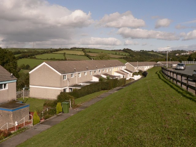
Image: © Mick Lobb Taken: 2 Oct 2008
This photograph is of the lower section of Waring Road taken from the 'tier' above. Southway is one of the council estates extending Plymouth's boundaries out toward Dartmoor.
Images are licensed for reuse under creativecommons.org/licenses/by-sa/2.0
Image Location
Latitude
50.430733
Longitude
-4.142189