Pasture near Branston
Introduction
The photograph on this page of Pasture near Branston by Kate Jewell as part of the Geograph project.
The Geograph project started in 2005 with the aim of publishing, organising and preserving representative images for every square kilometre of Great Britain, Ireland and the Isle of Man.

There are currently over 7.5m images from over 14,400 individuals and you can help contribute to the project by visiting https://www.geograph.org.uk
Pasture near Branston
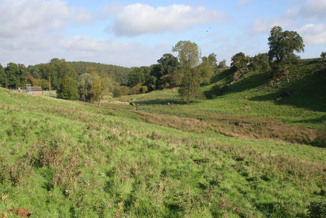
Image: © Kate Jewell Taken: 8 Oct 2008
This pasture to the east of Branston dips down sharply to the marshy course of a fast flowing stream before rising steeply on the other side. According to the map the bridleway climbs up at an almost impossible angle on its way to the top.
Images are licensed for reuse under creativecommons.org/licenses/by-sa/2.0
Image Location
Latitude
52.85938
Longitude
-0.793937