The River Deveron from Rothiemay Bridge
Introduction
The photograph on this page of The River Deveron from Rothiemay Bridge by Anne Burgess as part of the Geograph project.
The Geograph project started in 2005 with the aim of publishing, organising and preserving representative images for every square kilometre of Great Britain, Ireland and the Isle of Man.

There are currently over 7.5m images from over 14,400 individuals and you can help contribute to the project by visiting https://www.geograph.org.uk
The River Deveron from Rothiemay Bridge
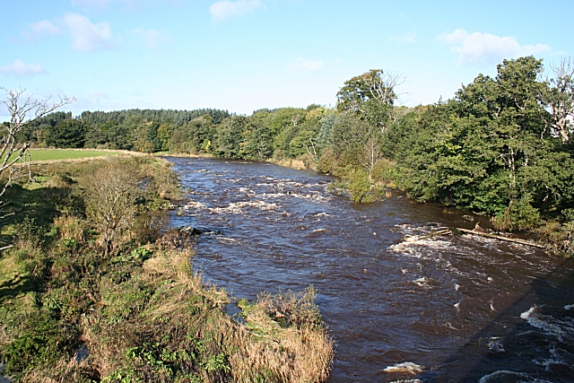
Image: © Anne Burgess Taken: 8 Oct 2008
This is looking upstream. The river level is high, but I was told that it was three or four feet higher still a week ago following a spell of heavy rain.
Images are licensed for reuse under creativecommons.org/licenses/by-sa/2.0
Image Location
Latitude
57.521772
Longitude
-2.758631