Southend Cycleway
Introduction
The photograph on this page of Southend Cycleway by Glyn Baker as part of the Geograph project.
The Geograph project started in 2005 with the aim of publishing, organising and preserving representative images for every square kilometre of Great Britain, Ireland and the Isle of Man.

There are currently over 7.5m images from over 14,400 individuals and you can help contribute to the project by visiting https://www.geograph.org.uk
Southend Cycleway
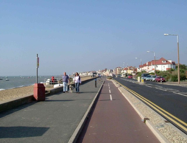
Image: © Glyn Baker Taken: 16 Oct 2005
This is part of the cycle track that runs parallel to the Promenade along the seafront from Shoeburyness to Southend via Thorpe Bay. The photo was taken looking west towards Southend.
Images are licensed for reuse under creativecommons.org/licenses/by-sa/2.0
Image Location


Leaflet Map data © OpenStreetMap
Latitude
51.528966
Longitude
0.749283