Tresemple Pond
Introduction
The photograph on this page of Tresemple Pond by Tony Atkin as part of the Geograph project.
The Geograph project started in 2005 with the aim of publishing, organising and preserving representative images for every square kilometre of Great Britain, Ireland and the Isle of Man.

There are currently over 7.5m images from over 14,400 individuals and you can help contribute to the project by visiting https://www.geograph.org.uk
Tresemple Pond
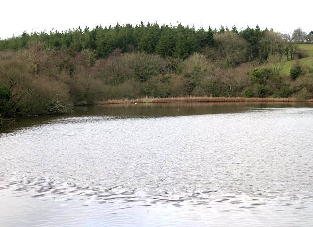
Image: © Tony Atkin Taken: 2 Jan 2006
This freshwater pond is next to the Tresillion Estuary and was presumably a tidal creek before being cut off from the estuary by the building of a causeway which carries the footpath along the estuary bank.
Images are licensed for reuse under creativecommons.org/licenses/by-sa/2.0
Image Location


Leaflet Map data © OpenStreetMap
Latitude
50.262262
Longitude
-5.013729