Farmland below Green Down
Introduction
The photograph on this page of Farmland below Green Down by Guy Wareham as part of the Geograph project.
The Geograph project started in 2005 with the aim of publishing, organising and preserving representative images for every square kilometre of Great Britain, Ireland and the Isle of Man.

There are currently over 7.5m images from over 14,400 individuals and you can help contribute to the project by visiting https://www.geograph.org.uk
Farmland below Green Down
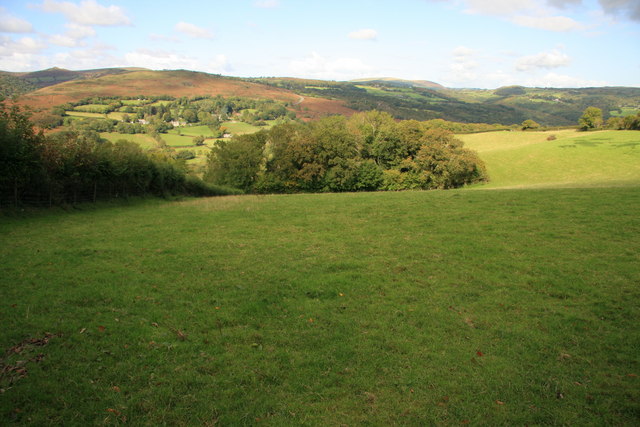
Image: © Guy Wareham Taken: 8 Oct 2008
Beyond the trees lies the Dart Valley and the path of the Two Moors Way.
Images are licensed for reuse under creativecommons.org/licenses/by-sa/2.0
Image Location
Latitude
50.514396
Longitude
-3.818865