London 40
Introduction
The photograph on this page of London 40 by Graham Horn as part of the Geograph project.
The Geograph project started in 2005 with the aim of publishing, organising and preserving representative images for every square kilometre of Great Britain, Ireland and the Isle of Man.

There are currently over 7.5m images from over 14,400 individuals and you can help contribute to the project by visiting https://www.geograph.org.uk
London 40
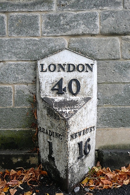
Image: © Graham Horn Taken: 30 Sep 2008
A mile out of Reading to the west, and 16 east of Newbury, on Bath Road, now the A4, the coaching road from London to Bath.
Images are licensed for reuse under creativecommons.org/licenses/by-sa/2.0
Image Location
Latitude
51.449212
Longitude
-0.990901