Guardbridge
Introduction
The photograph on this page of Guardbridge by Jim Bain as part of the Geograph project.
The Geograph project started in 2005 with the aim of publishing, organising and preserving representative images for every square kilometre of Great Britain, Ireland and the Isle of Man.

There are currently over 7.5m images from over 14,400 individuals and you can help contribute to the project by visiting https://www.geograph.org.uk
Guardbridge
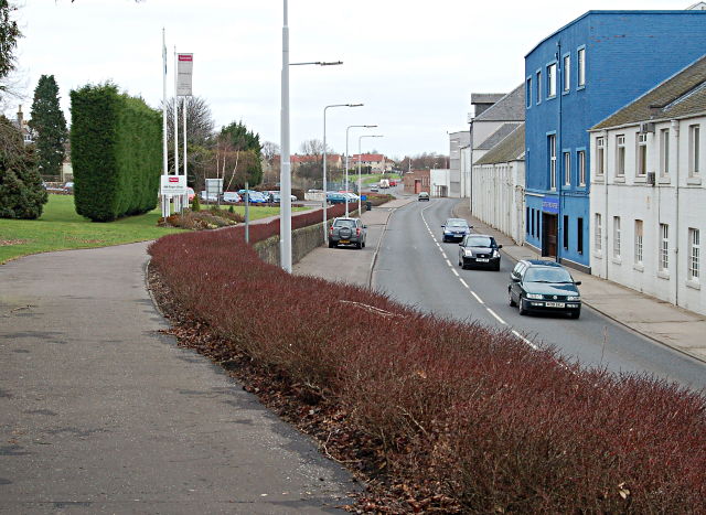
Image: © Jim Bain Taken: 15 Feb 2008
Looking north along the line of the St Andrews branch line and the Leuchars road by the paper mill. The mill closed its doors for new orders in July 2008.
Images are licensed for reuse under creativecommons.org/licenses/by-sa/2.0
Image Location
Latitude
56.366307
Longitude
-2.892212