St John's Road, Reading
Introduction
The photograph on this page of St John's Road, Reading by Andrew Smith as part of the Geograph project.
The Geograph project started in 2005 with the aim of publishing, organising and preserving representative images for every square kilometre of Great Britain, Ireland and the Isle of Man.

There are currently over 7.5m images from over 14,400 individuals and you can help contribute to the project by visiting https://www.geograph.org.uk
St John's Road, Reading
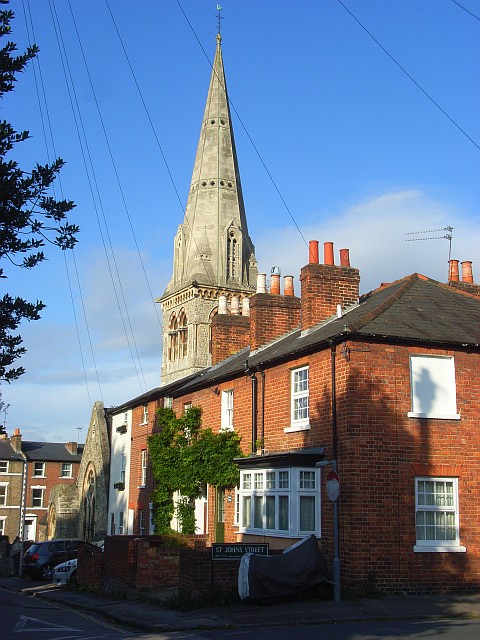
Image: © Andrew Smith Taken: 2 Oct 2008
This is the western end of the street above the junction with Watlington Street. The church is now a Polish Catholic one but was formerly St John's Church of England.
Images are licensed for reuse under creativecommons.org/licenses/by-sa/2.0
Image Location
Latitude
51.452277
Longitude
-0.960899