Combine, Cortleferry
Introduction
The photograph on this page of Combine, Cortleferry by Richard Webb as part of the Geograph project.
The Geograph project started in 2005 with the aim of publishing, organising and preserving representative images for every square kilometre of Great Britain, Ireland and the Isle of Man.

There are currently over 7.5m images from over 14,400 individuals and you can help contribute to the project by visiting https://www.geograph.org.uk
Combine, Cortleferry
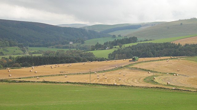
Image: © Richard Webb Taken: 7 Oct 2008
It is well into October and there is still work out there for this combine - if it stops raining. 2008 was the year of the huge grain drying bill and endless struggles to free combine harvesters stuck in barley fields disguised as paddy fields. An uncut field near here had standing water clearly visible in the tramlines. View down the Gala Water.
Images are licensed for reuse under creativecommons.org/licenses/by-sa/2.0
Image Location
Latitude
55.738832
Longitude
-2.89934