The Former Crown Inn, High Hesket
Introduction
The photograph on this page of The Former Crown Inn, High Hesket by Trevor Harris as part of the Geograph project.
The Geograph project started in 2005 with the aim of publishing, organising and preserving representative images for every square kilometre of Great Britain, Ireland and the Isle of Man.

There are currently over 7.5m images from over 14,400 individuals and you can help contribute to the project by visiting https://www.geograph.org.uk
The Former Crown Inn, High Hesket
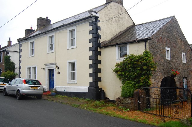
Image: © Trevor Harris Taken: 6 Sep 2008
Now a private house, this was once the Crown Inn, one of several public houses once operating in this little village.
Images are licensed for reuse under creativecommons.org/licenses/by-sa/2.0
Image Location
Latitude
54.79272
Longitude
-2.817554